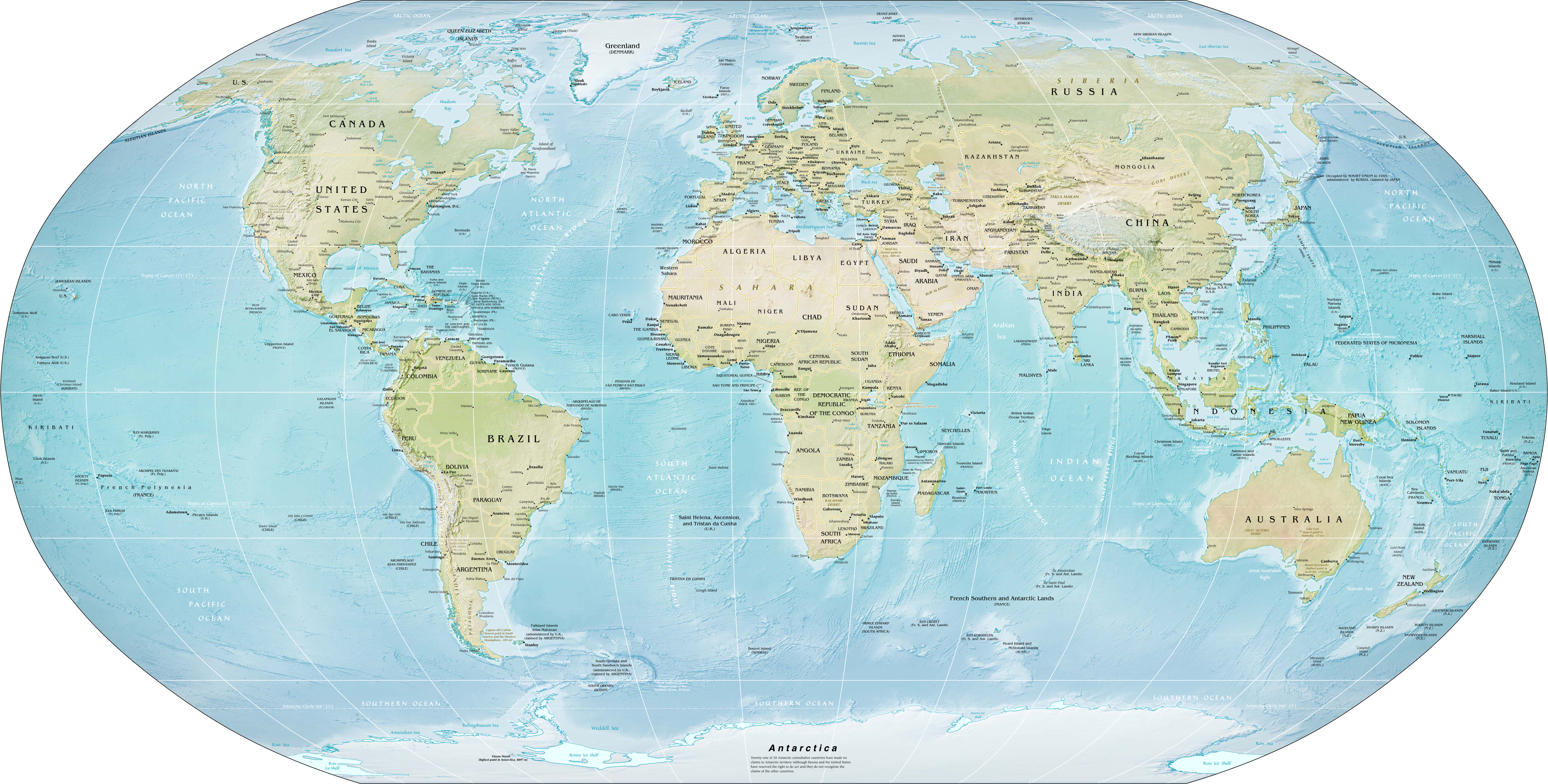
Weather forecasters have confirmed that an El Niño is forming in the Pacific, a shift that tends to reshape rainfall and temperatures across the world's major farming regions at the same time. The World Meteorological Organization has put the chance of El Niño developing between June and August 2026 at 80 per cent, rising to around 90 per cent later in the year, with most models pointing to at least a moderate event, according to UN News.
A Signal That Travels Far
The WMO Secretary-General, Celeste Saulo, said El Niño's footprint reaches far beyond the Pacific, affecting agriculture, water resources and supply chains across whole regions, while the United Nations chief urged the world to treat the alert as an urgent climate warning, UN News reported. The United States climate agency has issued an El Niño Advisory, saying conditions are present and expected to strengthen into the 2026-27 Northern Hemisphere winter, according to the NOAA Climate Prediction Center.
Where the Risk Is Sharpest
New Food and Agriculture Organization analysis maps the greatest drought risk across the Sahel, Southern Africa, South and Southeast Asia and Central America, with a belt of agricultural stress running from Senegal through Côte d'Ivoire, Ghana, Togo, Benin and Nigeria, according to the FAO. The agency warned that El Niño can weaken the Indian monsoon and stress rainfed rice and maize, echoing 2015 when output fell in major producers and pushed up prices, and it noted that more than 80 per cent of drought impacts fall on low- and middle-income countries, FAO reported.
With Nigeria sitting inside the flagged risk belt, a dry season across West Africa could tighten supply and lift prices well before any global index registers the shift. FoodPrices Nigeria tracks verified retail prices across Lagos markets, the early local signal of how a Pacific weather pattern reaches the Nigerian plate.